Typhoon Hanna Rapidly Intensifies as it Heads Towards Taiwan
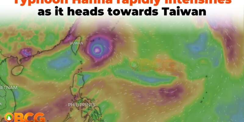
Typhoon Hanna, also known as Haikui, has been rapidly intensifying as it surges west-northwestward towards the sea east of Taiwan, according to the latest bulletin issued at 5:00 PM today.
Key Points on Typhoon Hanna:
- Location: As of 4:00 PM, Typhoon Hanna was located 375 km East Northeast of Itbayat, Batanes.
- Intensity: The typhoon boasts maximum sustained winds of 140 km/h, with gusts reaching up to 170 km/h. The central pressure of the cyclone is currently at 965 hPa.
- Movement: Hanna is currently moving at a pace of 20 km/h in a west-northwestward direction.
The reach of the cyclone’s powerful winds extends up to 400 km from its center. Consequently, Batanes is now under Tropical Cyclone Wind Signal (TCWS) No.1, which denotes a threat from strong winds. These winds are expected to range from 39 to 61 km/h, posing minimal to minor threats to both life and property.
Potential Hazards:
- Rainfall: Batanes is expected to experience heavy rainfall, with accumulations predicted between 50-100 mm. This can result in potential flooding and landslides, especially in areas that are highly susceptible to such hazards or have already received significant rainfall in recent days.
- Winds: Coastal and elevated areas are likely to experience more pronounced effects from the typhoon’s winds, with certain regions experiencing gusty conditions due to the enhanced Southwest Monsoon.
- Sea Conditions: Gale warnings have been raised for multiple seaboards across Luzon and Visayas, indicating potentially perilous sea conditions. Civilian maritime activities, such as sea travel, may be disrupted or suspended.
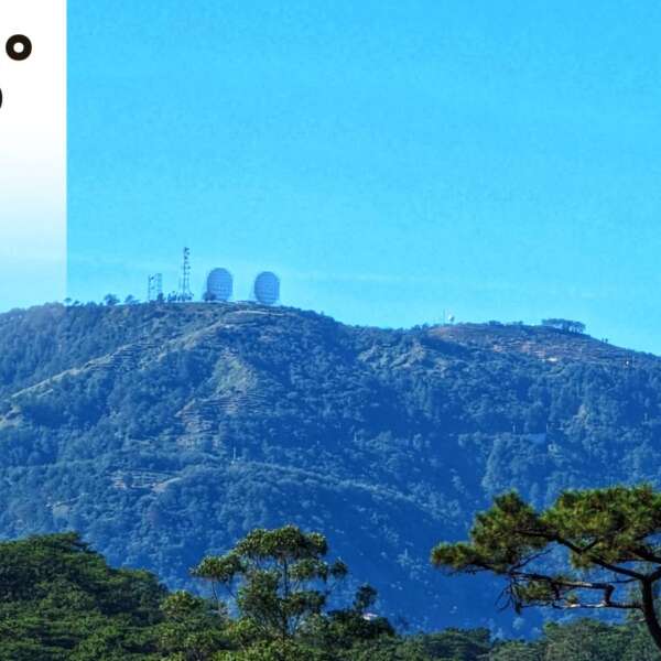
Rainfall Warning in Benguet
The province of Benguet will continue to be under an Orange rainfall warning. This means that FLOODING and LANDSLIDES are THREATENING in flood and landslides-prone areas.
Forecast: Hanna is expected to intensify further until its landfall along the southern coast of Taiwan by tomorrow afternoon or evening. The land interaction with Taiwan’s rugged terrain will considerably weaken the typhoon. By Monday morning, Hanna is predicted to depart from the Philippine Area of Responsibility and move towards the Taiwan Strait. Beyond this region, its trajectory may become erratic, even stagnating over the Taiwan Strait and weakening over time. By mid-week, it is anticipated that Hanna will have downgraded to a tropical depression.
Public Advisory: Residents, especially those in hazard-prone areas, are urged to stay vigilant, follow local official guidelines, and be prepared for potential evacuation. For specific regional weather warnings and updates, individuals are encouraged to monitor products issued by their local PAGASA Regional Services Division.


