Is a Storm Brewing? PAGASA Eyes LPA Looming Northeast of Virac, Catanduanes
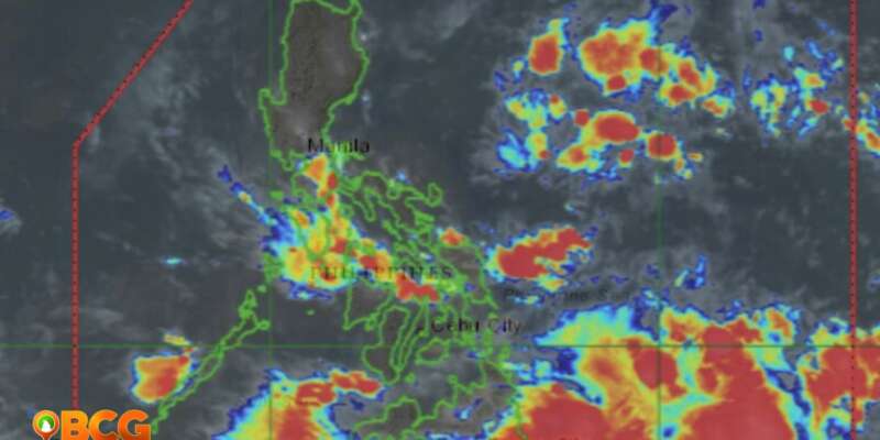
Early this morning, at 3:00 AM, a Low Pressure Area (LPA) was observed based on available data. It was pinpointed approximately 510 km East Northeast of Virac, Catanduanes, at coordinates 15.3°N,128.6°E. At this point, the weather system carries a low probability of developing into a full-fledged typhoon.
While the risk of this LPA escalating into a typhoon is currently minimal, there is ongoing, continuous monitoring of the weather system. The projected trajectory for the LPA is northwest, which could bring about rainfall in some parts of eastern Luzon.
In tandem with this development, the Southwest Monsoon has been activated once again and is influencing the weather conditions in the western areas of Visayas and Mindanao. The activation of this seasonal wind pattern can bring significant rainfall and potentially trigger thunderstorms.
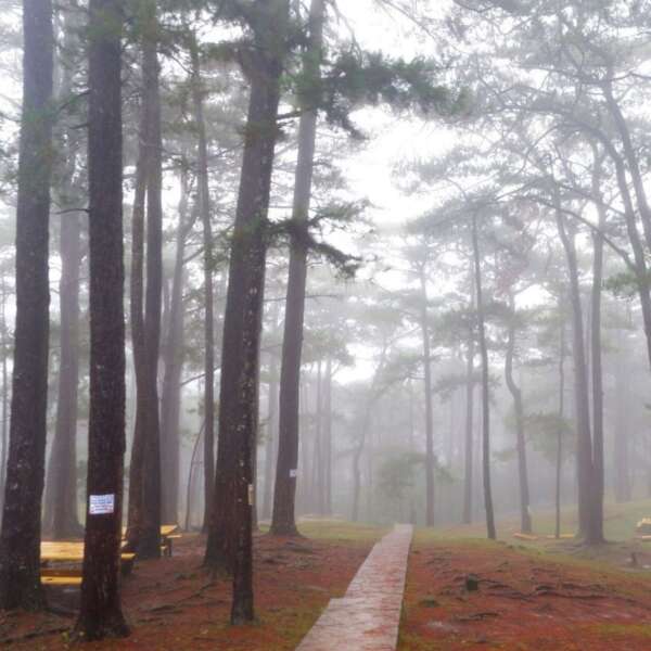
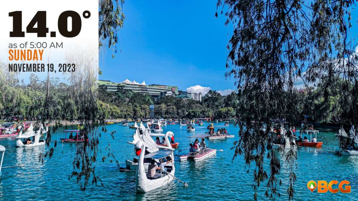
For Baguio city and Benguet province, weather projections for the next three days suggest partly cloudy to cloudy skies with the possibility of rain showers or thunderstorms. The residents and those traveling to these areas are advised to stay aware of the changing weather conditions and make appropriate preparations if necessary.

