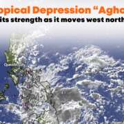
Goring is now a Super Typhoon as it moves South Southwest
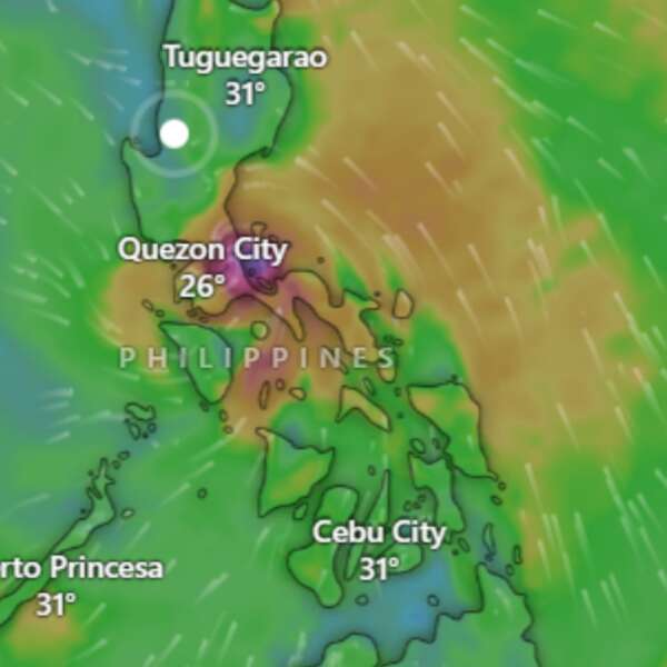
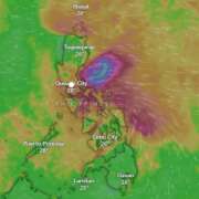
On 27 August 2023, Super Typhoon Goring intensified, now hovering over the coastal waters of Palanan, Isabela. Here’s an essential breakdown:
Super Typhoon Goring’s Key Metrics:
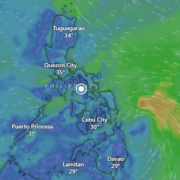
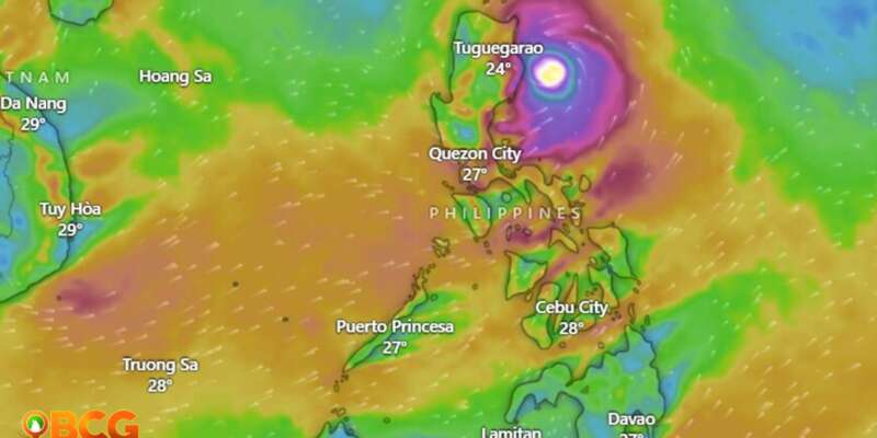
- Location (as of 4:00 AM): Palanan, Isabela (17.0°N, 123.0°E).
- Intensity: Winds of 185 km/h with gusts up to 230 km/h.
- Movement: South Southwestward at a slow pace.
- Wind Coverage: Up to 260 km from the center.
Tropical Cyclone Wind Signals (TCWS) in Effect:
- TCWS No. 3 (Luzon):
- Wind Threat: Storm-force winds.
- Areas Affected:
- Extreme eastern portion of Isabela:
- Divilacan
- Palanan
- Extreme eastern portion of Isabela:
- Potential Impact: Moderate to significant.
- TCWS No. 2 (Luzon):
- Wind Threat: Gale-force winds.
- Areas Affected:
- Eastern portion of mainland Cagayan:
- Peñablanca
- Baggao
- Gattaran
- Lal-Lo
- Gonzaga
- Santa Teresita
- Buguey
- Santa Ana
- Eastern portion of Isabela:
- Dinapigue
- Ilagan City
- Maconacon
- Cabagan
- Tumauini
- San Pablo
- Benito Soliven
- San Mariano
- Extreme northern portion of Aurora:
- Dilasag
- Casiguran
- Eastern portion of mainland Cagayan:
- TCWS No. 1 (Luzon):
- Wind Threat: Strong winds.
- Areas Affected:
- Babuyan Islands
- Rest of mainland Cagayan
- Rest of Isabela
- Quirino
- Nueva Vizcaya
- Apayao
- Kalinga
- Abra
- Mountain Province
- Ifugao
- Eastern portion of Benguet:
- Bokod
- Buguias
- Kabayan
- Mankayan
- Eastern portion of Ilocos Norte:
- Pagudpud
- Adams
- Vintar
- Carasi
- Nueva Era
- Banna
- Marcos
- Dingras
- Solsona
- Piddig
- Dumalneg
- Bangui
- Northeastern portion of Nueva Ecija:
- Carranglan
- Pantabangan
- Bongabon
- Gabaldon
- Laur
- Rizal
- Northern and central portions of Aurora:
- Dinalungan
- Dipaculao
- Baler
- Maria Aurora
- San Luis
- Polillo Islands
- Calaguas Islands
Land Hazards:
- Heavy Rainfall:
- Today:
- 200 mm: Extreme eastern portion of Isabela.
- 100-200 mm: Eastern portions of mainland Cagayan and Isabela.
- 50-100 mm: Ilocos Region, Apayao, Abra, Benguet, northern Aurora, eastern Nueva Vizcaya, and rest of mainland Cagayan and Isabela.
- Tomorrow:
- 50-100 mm: Eastern parts of Babuyan Islands and mainland Cagayan.
- Tuesday:
- 100-200 mm: Batanes and eastern Babuyan Islands.
- 50-100 mm: Rest of Babuyan Islands and northern mainland Cagayan.
- Today:
Coastal Hazards:
- Gale Warning: Northern and eastern coastal waters of Luzon are on alert, affecting maritime operations.
Projected Path:
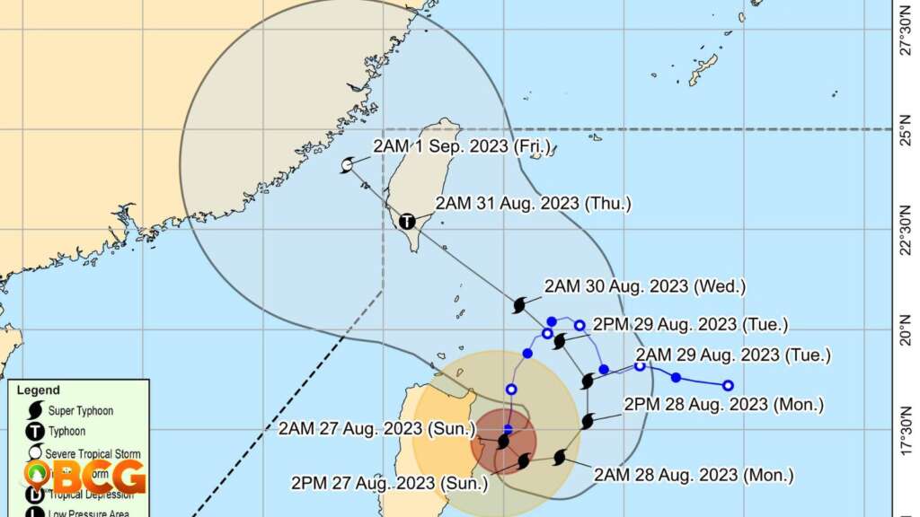
Goring will loop near Cagayan-Isabela, veering northeastward and northward. By Wednesday or early Thursday, a southern Taiwan landfall is expected. The typhoon will weaken upon interacting with Taiwan’s landscape.
Residents are advised to stay vigilant, heed local advisories, and monitor PAGASA updates.
How do you feel about this?
Happy
0
Sad
1
Shocked
0
Not Sure
0