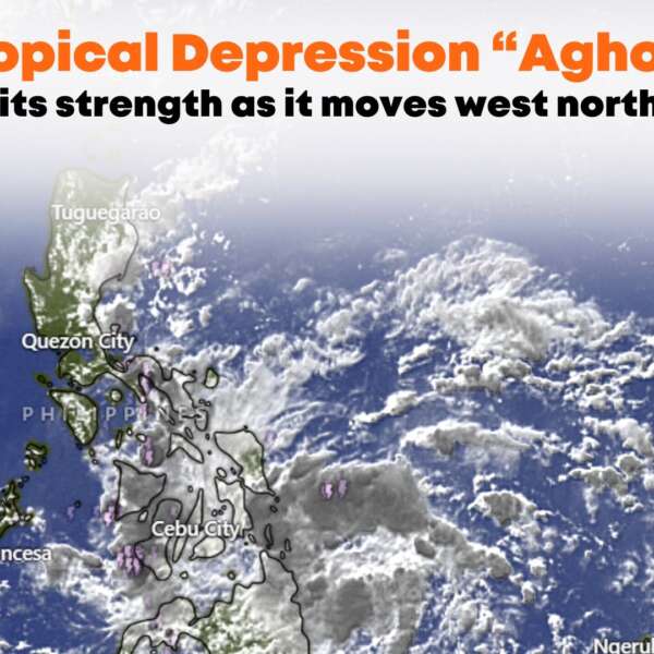
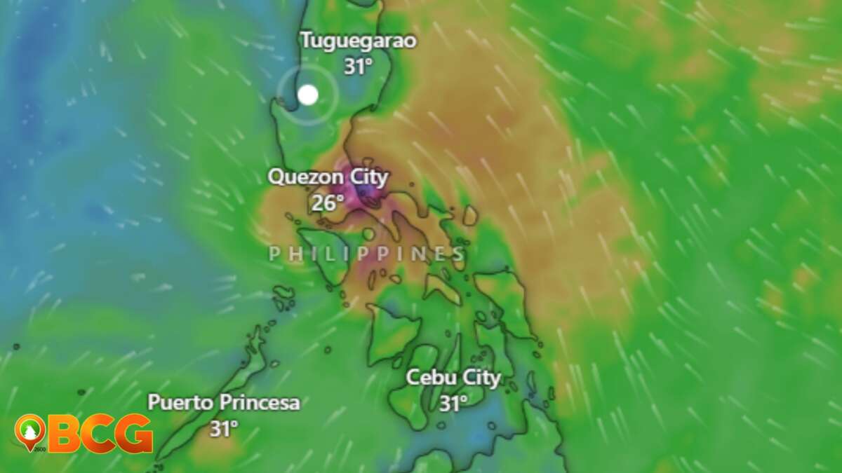
Low-pressure east of Surigao del Sur intensified into Tropical Depression “Aghon”
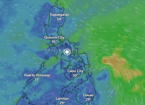
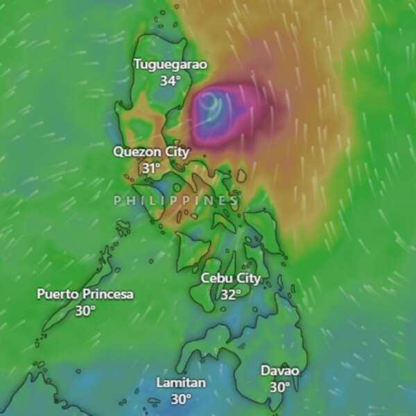
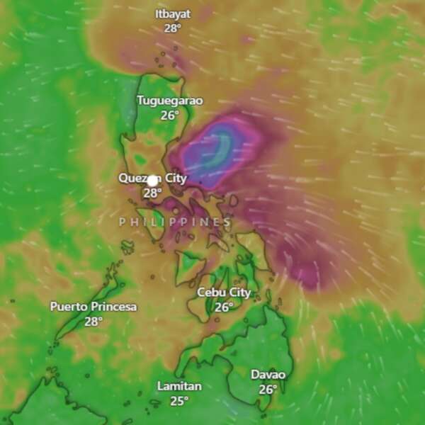
The low-pressure area east of Surigao del Sur has intensified into Tropical Depression “Aghon.” This system is expected to bring significant rainfall and moderate to strong winds to various regions over the next few days.
Heavy Rainfall Outlook:
Today:
50-100 mm of rain in Surigao del Norte, Dinagat Islands, northern Surigao del Sur, eastern Southern Leyte, and southern Eastern Samar.
Tomorrow:
100-200 mm of rain in Eastern Samar, Northern Samar, Camarines Sur, Catanduanes, Albay, and Sorsogon.
50-100 mm of rain in Dinagat Islands, and the rest of Bicol and Eastern Visayas.
Sunday:
50-100 mm of rain in Catanduanes, Camarines Norte, and Camarines Sur.
Higher rainfall is expected in elevated or mountainous areas, posing risks of flooding and rain-induced landslides, particularly in regions already identified as highly susceptible to these hazards.
Tropical Cyclone Wind Signals
Tropical Cyclone Wind Signal No. 1
Visayas
Eastern Samar
Mindanao
Dinagat Islands, Siargao Islands, and Bucas Grande Islands
Coastal Waters:
AGHON will bring moderate to rough seas (1.5 to 3.0 meters) along the northern and eastern seaboards of Eastern Visayas and the eastern seaboard of Caraga Region today. Mariners, especially those with smaller vessels, are advised to take precautions and avoid navigating in these conditions if possible.
Track and Intensity Outlook:
AGHON is forecast to move northwestward or north-northwestward from today until tomorrow, gradually intensifying.
It is expected to make a close approach or landfall near Eastern Samar tomorrow morning as a tropical depression.
AGHON will then pass north-northwestward over Eastern Visayas, emerging over the waters off the east coast of Bicol Region by tomorrow afternoon or evening as a tropical storm.
By Sunday, AGHON will start recurving northeastward or north-northeastward over the waters east of Luzon, intensifying into a severe tropical storm by mid-Sunday and potentially a typhoon by Tuesday.
Current Position and Movement:
The center of AGHON was located 340 km east of Hinatuan, Surigao del Sur (08.6 °N, 129.4 °E).
Moving west-northwestward at 30 km/h.
Strength:
Maximum sustained winds of 45 km/h near the center, with gusts up to 55 km/h.
Stay updated with the latest bulletins for more information on Tropical Depression “Aghon.”

