Typhoon Aghon Maintains Strength, Moves Northeastward Over Philippine Sea
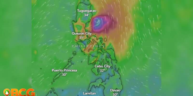
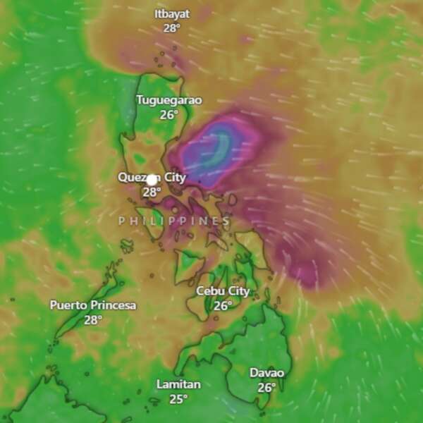
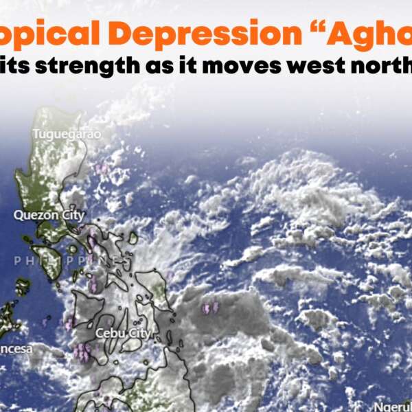
Typhoon Aghon is maintaining its strength as it moves northeastward over the Philippine Sea.
Location of Center (10:00 AM)
- The center of Typhoon Aghon was located about 100 km east-southeast of Casiguran, Aurora.
Intensity
- Maximum sustained winds: 140 km/h near the center
- Gustiness: Up to 170 km/h
- Central pressure: 965 hPa
Movement
- Northeastward at 10 km/h
Extent of Tropical Cyclone Winds
- Strong to typhoon-force winds extend up to 220 km from the center.
Tropical Cyclone Wind Signals (TCWS) in Effect
TCWS No. 2
- Wind threat: Gale-force winds
- Warning lead time: 24 hours
- Wind speeds: 62 to 88 km/h
- Potential impacts: Minor to moderate threat to life and property
- Luzon: Southeastern Isabela (Dinapigue, Palanan) and northern Aurora (Dilasag, Casiguran)
TCWS No. 1
- Wind threat: Strong winds
- Warning lead time: 36 hours
- Wind speeds: 39 to 61 km/h
- Potential impacts: Minimal to minor threat to life and property
- Luzon: Northeastern and southern Isabela, eastern Quirino, southern Nueva Vizcaya, rest of Aurora, northern Quezon including Polillo Islands, and northwestern Camarines Norte including Calaguas Islands.
Hazards Affecting Land Areas
Heavy Rainfall Outlook
- Typhoon Aghon is less likely to bring significant rainfall in the next three days.
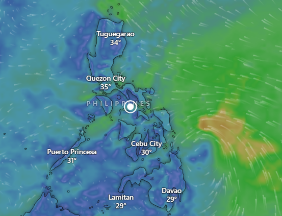
- The Southwesterly Windflow enhanced by the typhoon will bring moderate to heavy rains over Western Visayas and portions of MIMAROPA in the next two days.
Severe Winds
- Gale-force winds may cause minor to moderate impacts in areas under TCWS No. 2.
- Strong winds may cause minimal to minor impacts in areas under TCWS No. 1.
Hazards Affecting Coastal Waters
- Gale Warning: Coastal waters of southern Cagayan, Isabela, Aurora, and northern Quezon including Polillo Islands. Sea travel is risky for small seacrafts.
- Moderate to rough seas (1.5 to 3.0 m) are expected over the eastern coastal waters of Cagayan and northern Bicol Region.
Track and Intensity Outlook
- Typhoon Aghon is expected to move northeastward over the Philippine Sea and may exit the Philippine Area of Responsibility (PAR) by Wednesday afternoon or evening.
- The typhoon will continue to intensify over the next two days before potentially weakening mid to late Wednesday as it interacts with the mid-latitude environment.
Advisory
- Public and disaster risk reduction offices should take necessary measures to protect life and property.
- Follow evacuation instructions from local officials if living in high-risk areas.
- Monitor PAGASA for heavy rainfall warnings, thunderstorm/rainfall advisories, and other severe weather information.
How do you feel about this?
Happy
0
Sad
0
Shocked
0
Not Sure
1

