

 By
By What a ‘Super El Niño’ Could Mean for the Cordillera
Excerpt: PAGASA says the ongoing El Niño may reach a very strong state before the end of 2026. Here is what the latest outlook says about rainfall, temperatures, farming, and water resources in the Cordillera.
The weeks of persistent rain across Baguio and the Cordillera may make warnings about El Niño seem difficult to reconcile with current conditions. However, El Niño does not mean that rain will suddenly stop or that every part of the country will immediately become dry.
In its latest advisory, issued on September 6, 2026, the Philippine Atmospheric, Geophysical and Astronomical Services Administration (PAGASA) said a moderate to strong El Niño is already present in the tropical Pacific. Forecasts indicate that it could reach a very strong state in the coming months, peak toward the end of 2026, and continue until the first half of 2027.
This possibility is sometimes described as a “Super El Niño.” However, “Super El Niño” is not the classification used in the latest PAGASA advisory. The agency describes the possible development as a very strong El Niño.
What Is El Niño?
El Niño is the warm phase of the El Niño Southern Oscillation, or ENSO. It is associated with warmer-than-average sea surface temperatures in the central and eastern equatorial Pacific.
For the Philippines, El Niño generally increases the likelihood of below-normal rainfall. This can eventually lead to dry conditions, dry spells, or drought in affected areas.
Its effects are not the same everywhere or at all times. Rain-bearing weather systems such as the Southwest Monsoon or Habagat, localized thunderstorms, low-pressure areas, and tropical cyclones can still bring heavy rainfall even while El Niño is present.
PAGASA also notes that above-normal rainfall may occur over western sections of the country during the Habagat season. This helps explain why prolonged rain and El Niño conditions can exist at the same time.
What Does the Outlook Say for the Cordillera?
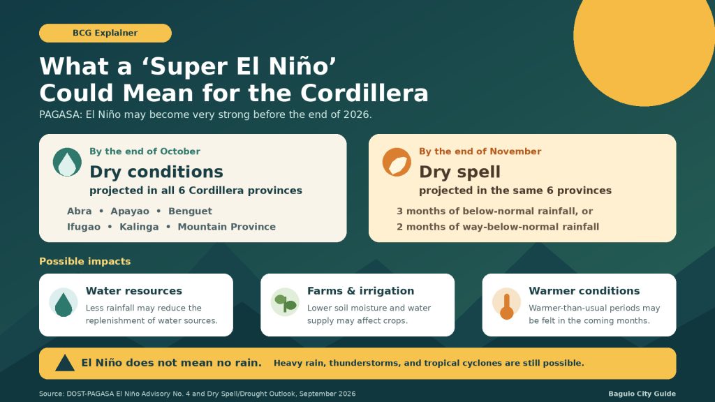
PAGASA’s dry condition, dry spell, and drought outlook dated September 3 projects that all six Cordillera provinces may experience meteorological dry conditions by the end of October 2026:
- Abra
- Apayao
- Benguet
- Ifugao
- Kalinga
- Mountain Province
By the end of November, the same provinces are projected to be under a dry spell.
The terms have specific meanings under PAGASA’s classification:
- Dry condition: Two consecutive months of below-normal rainfall, representing a reduction of 21% to 60% from average.
- Dry spell: Three consecutive months of below-normal rainfall, or two consecutive months of way-below-normal rainfall.
- Drought: Three consecutive months of way-below-normal rainfall, or five consecutive months of below-normal rainfall.
These are forecasts, not declarations that the listed provinces are already experiencing those conditions. The outlook may also change as PAGASA receives new rainfall observations and updates its climate models.
Possible Impact on Farms and Food Production
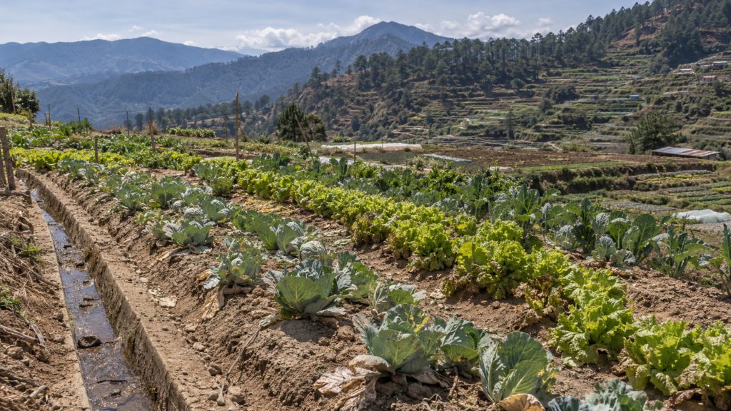
Agriculture is among the sectors most sensitive to prolonged rainfall shortages. In the Cordillera, reduced rainfall may affect soil moisture and the water available for irrigation, particularly in rain-fed farms.
PAGASA has advised farmers to conserve water, maintain irrigation systems, collect rainwater, consider drought-tolerant crops, and use practices that help retain soil moisture. The agency also recommends regularly checking weather updates and adjusting farm activities accordingly.
The effects will still depend on where and when rainfall decreases, the crops being grown, and the availability of irrigation and stored water.
Possible Pressure on Water Resources
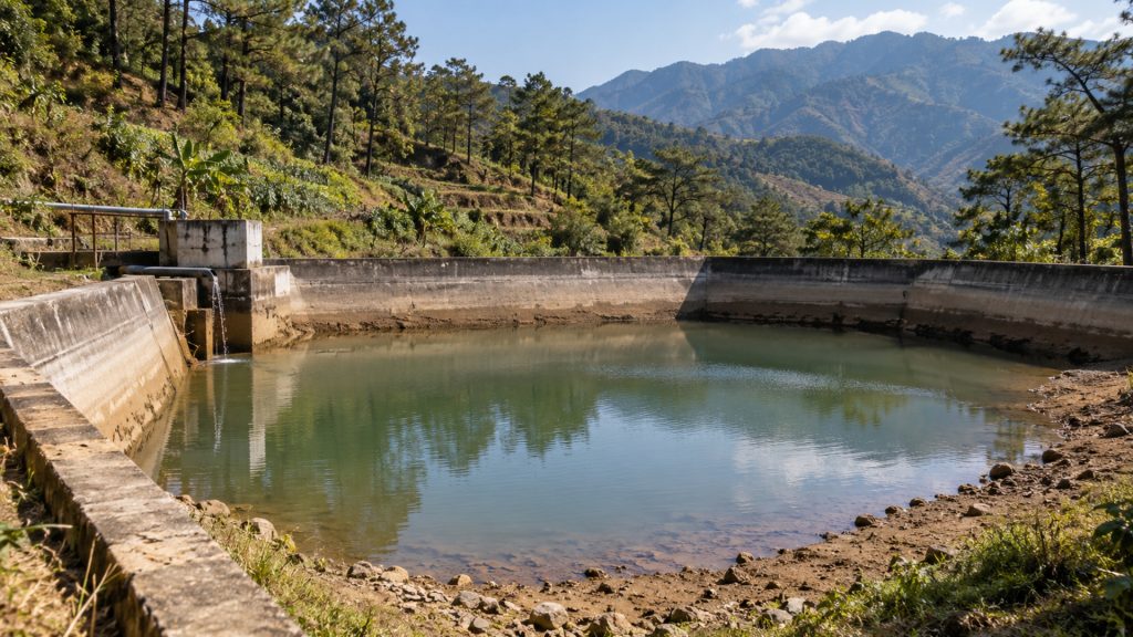
If below-normal rainfall continues for several months, water sources, watersheds, and irrigation systems may receive less replenishment. PAGASA identifies water resources as one of the climate-sensitive sectors that may be adversely affected by El Niño.
For households and institutions, this makes water conservation and the proper management of available supplies increasingly important. It does not mean that a water shortage is already occurring or is certain, but the outlook provides time to prepare before drier conditions intensify.
Warmer Conditions May Be Felt
PAGASA expects near-average to warmer-than-average mean temperatures across most of the country in September. For mountainous areas of Luzon, the agency projects temperatures ranging from 14.1°C to 27.0°C during the month.
Its six-month climate outlook also indicates that slightly warmer to warmer-than-usual surface temperatures may prevail across much of the Philippines from September 2026 to February 2027.
This does not mean every day will be unusually hot. Local temperatures will continue to change depending on cloud cover, elevation, rainfall, and other weather systems.
El Niño Does Not Eliminate the Risk of Heavy Rain
Even under a strong El Niño, localized thunderstorms and tropical cyclones may still produce intense rain, strong winds, lightning, and flash floods.
PAGASA expects two or three tropical cyclones to develop within or enter the Philippine Area of Responsibility in September. The country must therefore prepare for two seemingly opposite hazards: episodes of heavy rain and the possibility of prolonged rainfall shortages in the months ahead.
Why Is It Still Raining During El Niño?
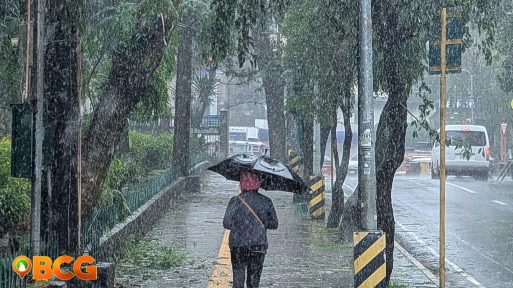
The prolonged rains affecting Baguio and the Cordillera should not be described as being caused directly by El Niño. PAGASA’s short-term forecasts identify the Southwest Monsoon or Habagat as the immediate weather system bringing rain over Northern Luzon.
PAGASA’s weekly outlook also indicated that a possible low-pressure area or circulation west of Luzon could influence and further enhance Habagat, bringing continued rain over parts of western and Northern Luzon, including Benguet. The agency recorded the passage of five tropical cyclones during August, while its rainfall assessment showed above-normal rainfall over most of Luzon and western Visayas.
El Niño remains the broader climate background. Although it generally increases the likelihood of below-normal rainfall in the Philippines, PAGASA says western sections of the country may still experience above-normal rainfall during the Habagat season.
This means the recent wet conditions do not contradict the outlook for dry conditions in the coming months. An area can experience episodes of unusually heavy or prolonged rain while its accumulated rainfall over a later month or season eventually falls below normal.
The clearest conclusion is that the current rains are being produced primarily by an active Habagat, influenced at different times by tropical cyclones and nearby circulation systems. El Niño is already present, but it is not the weather system directly producing the rain.
What Residents Should Keep in Mind
The forecast of a very strong El Niño is a warning to prepare, not a guarantee that every community will experience the same effects.
Residents should continue conserving water, following official weather and climate advisories, and preparing for both heavy rainfall events and longer dry periods. Farmers and communities dependent on springs, irrigation systems, and rain-fed water sources may need to monitor local conditions especially closely.
PAGASA issues an El Niño advisory every month. The projected strength, duration, rainfall pattern, and affected areas may still change as new information becomes available.
Sources:PAGASA El Niño Advisory No. 4, PAGASA Dry Spell and Drought Assessment and Outlook, and PAGASA Climate Advisories





