PAGASA: Typhoon “Rolly” Continues to Intensify
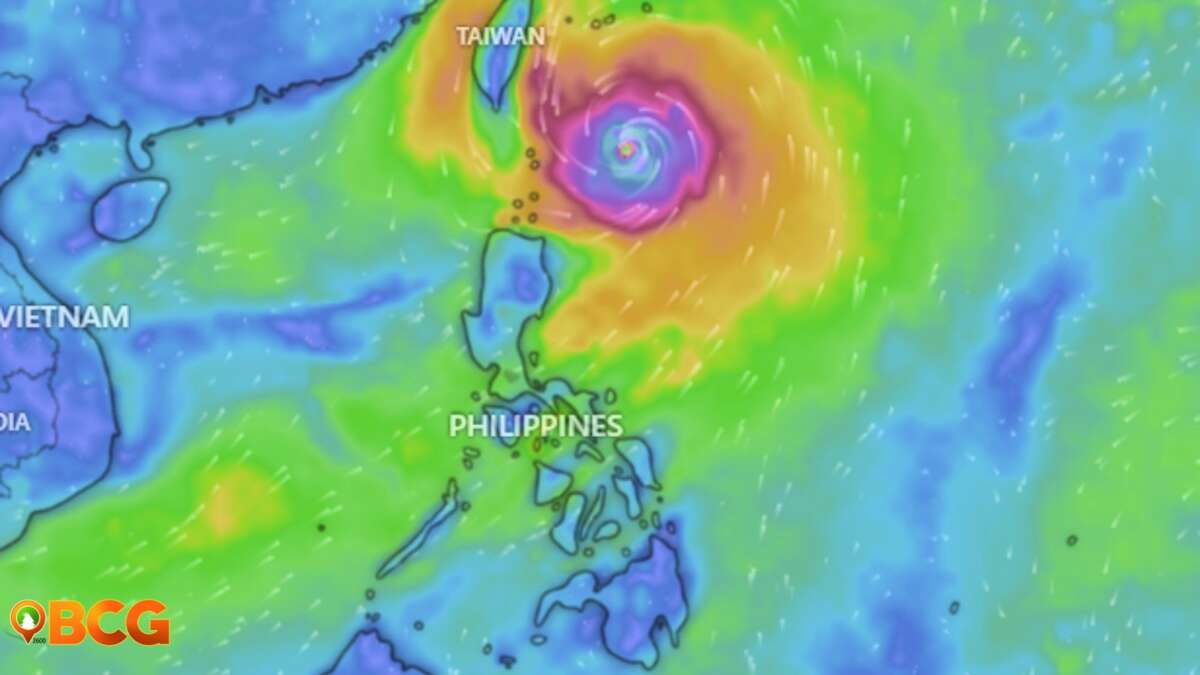
The eye of Typhoon “Rolly” was located at 1,100 km East of Central Luzon at 10:00 AM today (Friday), October 30, 2020. According to the Philippine Atmospheric, Geophysical and Astronomical Services Administration (PAGASA), the typhoon continues to intensify while moving westward over the Philippine Sea.
Track and Intensity Outlook
- The typhoon is forecast to move west-southwestward this afternoon until Saturday evening.
- Afterwards, it will turn west-northwestward as it moves over the sea off the coast of Bicol Region towards the eastern coast of Aurora-Quezon area.
- The center of the eye of “Rolly” is likely to make landfall over the Aurora-Quezon area on Sunday evening or Monday early morning.
- The typhoon is forecast to continuously intensify over the Philippine Sea and is likely to make landfall at peak intensity of 175-185 km/h.
Tropical Cyclone Wind Signal
Currently, there is no Tropical Cyclone Wind Signal (TCWS) in effect. However, TCWS #1 may be raised over several provinces in the Bicol Region this afternoon.
“Given that it is likely for this typhoon to continue intensifying prior to landfall, the highest possible TCWS that will be raised throughout the passage of this typhoon will be TCWS #3 or #4 (associated with destructive to very destructive typhoon-force winds).”
– PAGASA, at 11:00 AM, October 30, 2020, Severe Weather Bulletin
This broadcast is valid only until the next advisory which is to be issued by PAGASA at 5:00 PM today.
For More News and Updates
Keep up with what’s happening within and beyond the City of Baguio. Frequently visit our Baguio City Guide website and like an follow our official Baguio City Guide Facebook page to catch the latest news and updates. Stay safe everyone!
Source: PAGASA Severe Weather Bulletin, DOST PAGASA Facebook Page
Related: What to do before, during, and after a Typhoon


