
Typhoon GORING Update: Intensifying Southward Over East Cagayan
UPDATE May 20, 2026 11:17 AM:
(adsbygoogle = window.adsbygoogle || []).push({});
Typhoon GORING (#GoringPH, or SAOLA) continues its intensification while progressing southward over the sea, east of Cagayan.
Key Highlights of Typhoon Goring:
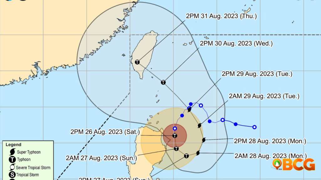
- Current Position: The eye of Typhoon GORING is approximately 145 km East Northeast of Tuguegarao City, Cagayan, as observed from the Aparri Weather Radar.
- Intensity: The storm boasts maximum sustained winds of 155 km/h near its center, gusting up to 190 km/h, with a central pressure of 955 hPa.
- Direction & Speed: Moving at a pace of 10 km/h in a southward direction.
- Extent of Winds: Strong to typhoon-level winds stretch outwards up to 280 km from its core.
(adsbygoogle = window.adsbygoogle || []).push({});
Wind Signal Warnings:
- TCWS No.3:
- Wind Threat: Storm-force winds
- Wind Speed: 89 to 117 km/h
- Potential Damages: Moderate to significant threat to life and property.
- Areas Affected:
- Northeastern portion of Cagayan:
- Santa Ana
- Extreme eastern portion of Isabela:
- Divilacan
- Palanan
- Northeastern portion of Cagayan:
- TCWS No.2:
- Wind Threat: Gale-force winds
- Wind Speed: 62 to 88 km/h
- Potential Damages: Minor to moderate threat to life and property.
- Areas Affected:
- Eastern portion of Isabela:
- Dinapigue
- San Mariano
- Ilagan City
- Maconacon
- Cabagan
- Tumauini
- San Pablo
- Eastern portion of Cagayan:
- Peñablanca
- Baggao
- Gattaran
- Lal-Lo
- Gonzaga
- Santa Teresita
- Buguey
- Northern portion of Aurora:
- Dilasag
- Casiguran
- Eastern portion of Isabela:
- TCWS No.1:
- Wind Threat: Strong winds
- Wind Speed: 39 to 61 km/h
- Potential Damages: Minimal to minor threat to life and property.
- Areas Affected:
- Batanes
- Rest of Cagayan
- Babuyan Islands
- Northern portion of Aurora:
- Dinalungan
- Dipaculao
- Baler
- Maria Aurora
- San Luis
- Quirino
- Rest of Isabela
- Apayao
- Nueva Vizcaya
- Ifugao
- Mountain Province
- Kalinga
- Abra
- Eastern portion of Ilocos Norte:
- Pagudpud
- Adams
- Vintar
- Carasi
- Nueva Era
- Banna
- Marcos
- Dingras
- Solsona
- Piddig
- Dumalneg
- Bangui
- Pollilo Islands
- Eastern portion of Benguet:
- Bokod
- Buguias
- Kabayan
- Mankayan
- Eastern portion of Nueva Ecija:
- Carranglan
- Pantabangan
- Bongabon
- Gabaldon
- Laur
- Rizal
- Calaguas Islands
Rainfall Forecast:
- Today to Tomorrow Afternoon:
- 100-200 mm: Mainland Cagayan and Isabela
- 50-100 mm: Regions including Babuyan Islands, Aurora, and northern Quezon.
- Tomorrow Afternoon to Monday Afternoon:
- Similar rainfall distribution with slightly varied regions.
Potential flooding and landslides are anticipated, especially in elevated or mountainous areas and places that recently experienced heavy rainfall.
Wind Impacts:
Residents in areas under wind signals should expect varying wind threats. Coastal and mountainous regions exposed to these winds may experience more potent gusts, whereas sheltered areas might encounter milder conditions.
(adsbygoogle = window.adsbygoogle || []).push({});
Coastal Hazards:
A Gale Warning is currently active for the northern and eastern coasts of Luzon. Sea travel is deemed risky, with anticipated disruption in maritime activities.
Future Path and Intensity:
Over the next 24 hours, GORING is expected to move southward to southeastward, adjusting its course northeastward on Monday. It may further intensify, potentially reaching a super typhoon status by Monday. However, the upwelling of cooler waters might restrict its growth by late Monday or early Tuesday.
Safety Advisory:
The public and local disaster risk management teams are urged to take necessary precautions. People residing in high-risk areas should heed local officials’ advice, especially regarding evacuations. For more detailed weather alerts and advisories, consult your local PAGASA Regional Services Division.
(adsbygoogle = window.adsbygoogle || []).push({});
For more information, see our complete guide on List of Open Establishments, Operating Hours and Mode of Service.


